Katie and I finally made it to Mt Baldy.
The girls were with my parents in Glasgow for the week (Camp Ernie), so we used the time off to take a nice relaxing aggressive hike. The M to Mt. Baldy trail is 8 miles round trip with 4,300 feet of elevation gain, rated hard, with a 4–7 hour estimate. Recharging the ol batteries..
Fun fact: this peak has no official name. USGS and Forest Service maps don’t recognize it at all.. “Baldy Mountain” officially belongs to a summit a mile north along the ridge that most people never see and the Bridger Ridge Trail bypasses. It’s covered in trees, with a rock scramble to reach the actual summit.. not bald in the slightest. Locals have called this one Mount Baldy for at least a century (the Baldy Blitz, the Baldy Aid Station on the Bridger Ridge Run), and there’s a standing effort to make it official.
A decade ago we tried this one, took a wrong turn, and somehow ended up on the Foothills Trail.. clueless, sweaty, and nowhere near the summit. I bonked and ate a bag of Doritos on an incline next to the obviously wrong trail, looking up at Baldy from somewhere east of Sypes. It has been sitting on the list ever since.
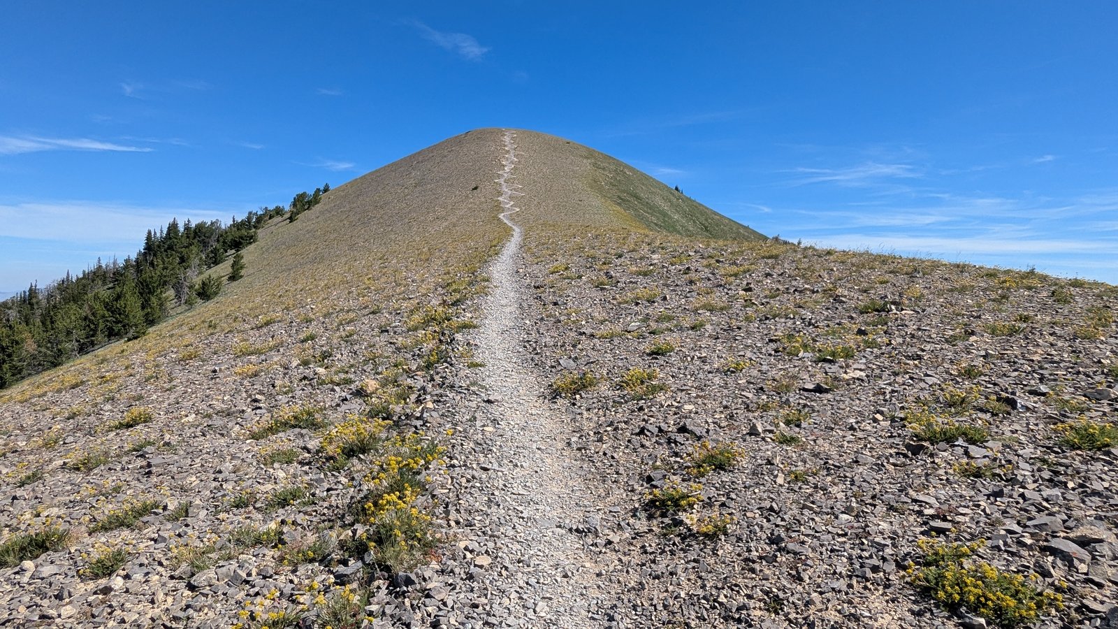
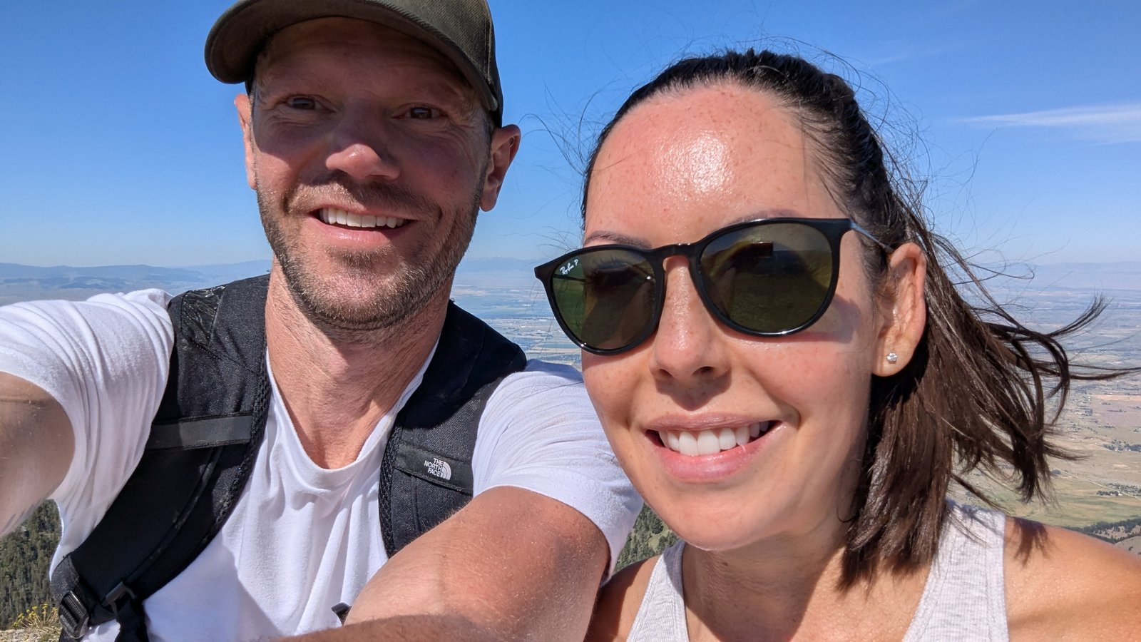
Got there this time. Clear day, Bozeman laid out below, no wrong turns. No Doritos though.. you can’t win them all
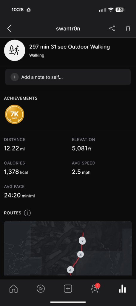
Peloton tried to keep up. Not accurate, but it logged 12.22 miles, 5,081 feet of gain, and just under five hours.
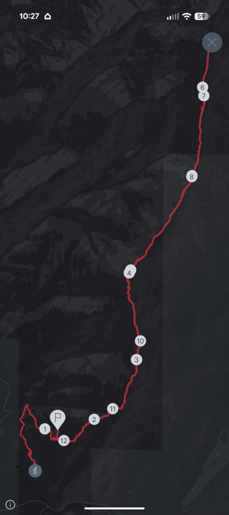
Been there. Done that.